GEOGRAPHIC RESEARCH
AUCKLAND PARKS
Why do we do Geographic Research?
- To find out about our environment
- To apply concepts to show your geographic understanding
- To show information in a visual way
- To participate in a group in a field work environment.
The research focus aim:
Do neighbourhood parks meet the needs of Aucklanders?
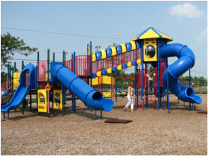
Case Study: Western Park
Western Park is one of Auckland’s oldest parks and since Auckland Girls’ borders the park, we are going to use it and the surround area as an example .
Western Park is one of Auckland’s oldest parks and since Auckland Girls’ borders the park, we are going to use it and the surround area as an example .
|
|
| ||||||
Field Trip
The field trip is on Thursday 11th August and we will be attending Barry Curtis Park, Jordan Park and Potters Park. Meet at Gate 2 at 8:30am.
You need money or a packed lunch and you may wear mufti.
Make sure you return your permission slip to your Geography Teacher
PARK MAPS
|
|
| ||||||
EXTRA RESOURCES
| field_trip_questions_to_think_about_on_the_trip1.docx |
| template_pie_graph_template_for_env_quality_survey.docx |
| environmental_quality_survey.pdf |
How to do field work in Geography
You will go over this information in class. If you missed anything or want to re-read what to do, the pdf to the right will help you.

|
| ||
Useful Websites - Secondary Data
Interpreting Census Data and Maps
You will use the 2013 NZ Census data and the Auckland Unitary Plan Map to collect more information about the areas we will be researching. Use the attached instructions and links to work with census statistics and landuse maps from the Auckland Unitary Plan.
You will use the 2013 NZ Census data and the Auckland Unitary Plan Map to collect more information about the areas we will be researching. Use the attached instructions and links to work with census statistics and landuse maps from the Auckland Unitary Plan.
| instructions_interpreting_census_data.docx |

Click Here for Statistics New Zealand
|

Click Here for the Auckland Unitary Plan
| ||
Additional Reading
|
| ||||
Assessment Hints:
READ the assessment tasks very carefully.
Remember that 'presenting' means presenting your processed info into annotated maps, annotated photos, diagrams, graphs etc. It is NOT like history where 'presenting' means writing a big long report.
Your assessment has a checklist to follow. Here it is again to remind you of what to include in your final assessment.
- This assessment booklet
- Your research plan
- The raw data collected on the field trip
- The presentation of your data
- Your ‘findings’ from the data that incorporate geographic concepts
- Your conclusion
- Your evaluation
- Your reflective journal
|
| ||||
|
| ||||
DUE DATE: THURSDAY, 25TH AUGUST 2016 8:50am
CHECKPOINTS FOR MISS AITKEN'S CLASS
| checkpoints_2016.pdf |
